Generate a landscape
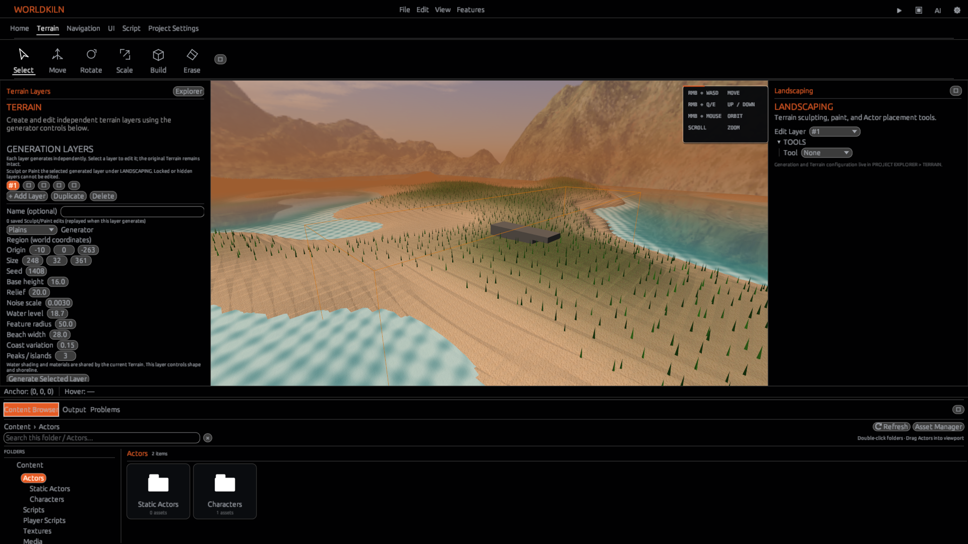
Open Landscaping. Choose a generation area and Plains parameters. Generate Terrain and select a Smooth or Block representation where available.
Terrain data is separate from ordinary Block Cells.
Sculpt and paint
Raise, Lower, Flatten, and Smooth adjust supported heightfield surfaces. Painting changes surface material roles. Brush radius and strength control the area affected; editing strokes support Undo/Redo.
Import heightmaps
Import a supported heightmap image, adjust its relief, then apply it to a Terrain layer. Generated and imported layers can be managed separately.
Use AeoScript
terrain.generate(position, size) generates runtime Terrain. Both arguments contain three numbers. Runtime terrain is not automatically saved to the authored project.
Next: Terrain walkthrough · Terrain API